Home

PEER INTO THE POSSIBILITIES

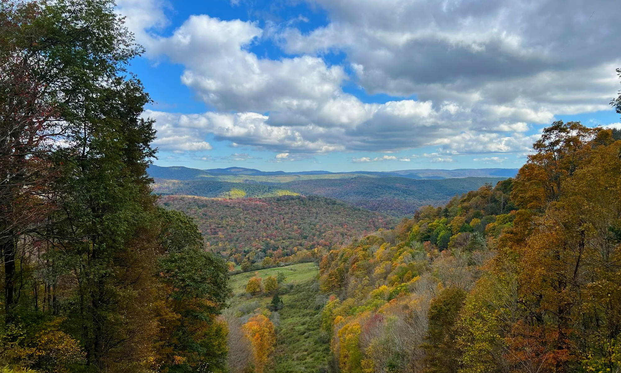
Located at 3,700 feet in Pocahontas County, West Virginia, provides the ever-changing scenic splendor of the rugged ridges of the Alleghenies. With a 150 degree spanning vista, this premium mountain site offers spectacular views of Spruce Knob, the highest peak in West Virginia, and the Virginia mountains. Cheat Mountain Vista is 32 miles from Elkins, WV and 32 miles from Monterey, VA. It is the prime private site not in the Monongahela National Forest, that can be developed for many uses.

The Cheat Mountain Vista site owners are seeking firms and individules that will construct and operate the lodging, food service, outfitting or other facilities and services needed by the hikers, mountain bikers, cross country skiers and horse back riders being drawn to this beautiful area in Randolph County.

Long term leases and/or joint ownership opportunities with the LLC Owner will be structured to minimize the up front costs otherwise required for access to and development on this million dollar site.
The Cheat Mountain Area

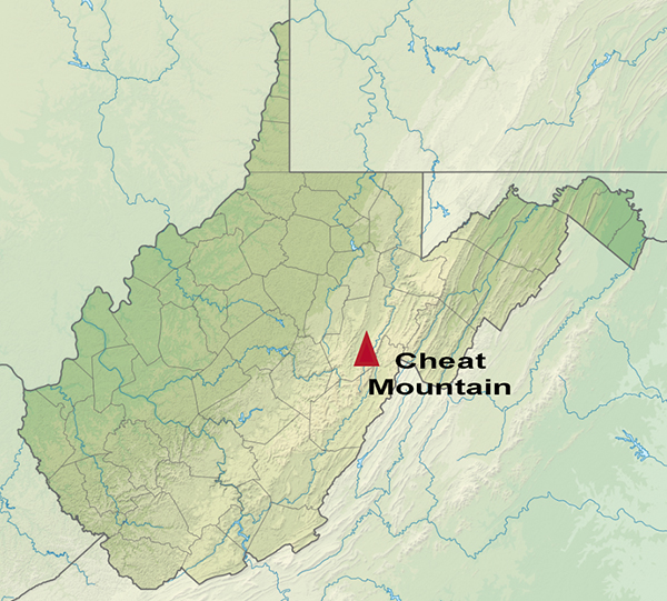
Cheat Mountain traverses the entire length of central Randolph County, West Virginia, from a northern point just west of Parsons to a southern point about 5.5 miles (8.9 km) south of the Randolph/Pocahontas county line, near the community of Stony Bottom, where it impinges upon Back Allegheny Mountain. All but the northernmost 4 miles (6.4 km) and the southernmost 5.5 miles (8.9 km) are within Randolph County. The western flank of Cheat Mountain is skirted by U.S. Route 219 which connects a string of communities in the Tygart River Valley (notably, from north to south, MontroseKerensElkinsBeverlyHuttonsville and Valley Head). The eastern flank, overlooking the valley of Shavers Fork, is more remote. Cheat Mountain is crossed (east/west) by two federal highways: U.S. Route 33 in its northern third and U.S. Route 250 in its southern third.

The Cheat River, a tributary of the Monongahela, is formed at Parsons, just east of the northern tip of Cheat Mountain, by the confluence of Shavers Fork and Black Fork.